High-precision geospatial intelligence and LiDAR data solutions enabling advanced terrain analysis, infrastructure planning, and 3D mapping.
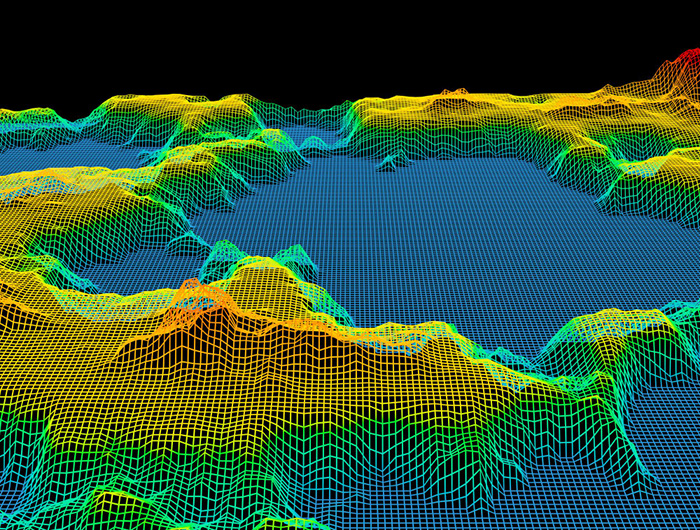
Trisol Technologies delivers end-to-end geospatial and LiDAR services that transform raw spatial data into actionable infrastructure insights.
Using high-density LiDAR point clouds, satellite imagery, and geospatial analytics, we support telecom, utilities, transportation, and smart city projects with precise terrain and asset intelligence.
We process raw LiDAR point cloud data to generate classified, structured datasets ready for engineering and planning analysis.
Our DTM and DSM models provide accurate elevation insights supporting infrastructure, flood risk, and route planning.
We create high-resolution 3D models for urban planning, telecom design, and smart city simulations.
Identify vegetation encroachments and optimize utility and telecom corridor planning.
Our geospatial and LiDAR services support complex infrastructure and environmental planning initiatives.
A structured geospatial workflow ensuring accurate LiDAR processing and actionable intelligence delivery.
Partner with Trisol Technologies for advanced geospatial and LiDAR solutions supporting infrastructure planning, analytics, and digital transformation.